
Can a Title Plan Be Used in a Boundary Dispute?
Written by Editorial Team · Reviewed by Property Plan Specialist · Last reviewed
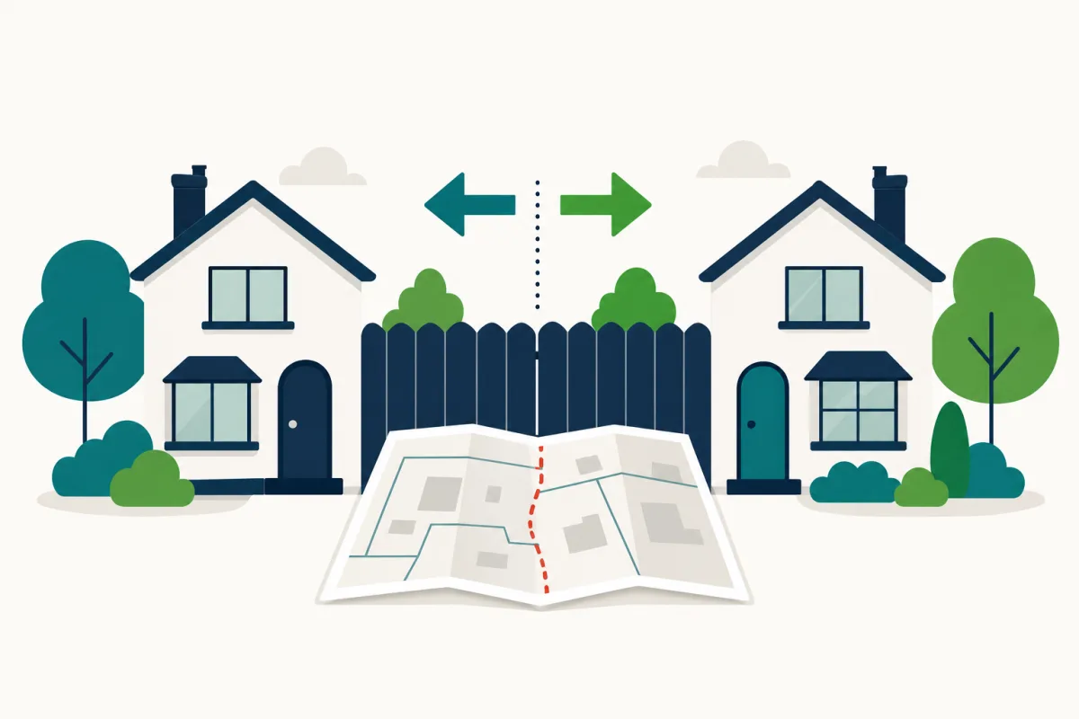
A title plan is a useful starting point in a boundary disagreement, but it is not usually decisive evidence of the exact boundary line. Title plans show general boundaries at small scales, so deeds, historical plans, physical features and professional measured surveys typically carry more weight. For anything contested, take advice from a surveyor or solicitor early.
A starting point, not a verdict
When a boundary disagreement starts, the title plan is usually the first document everyone reaches for — and that is a reasonable instinct. The plan shows the general extent of each registered title, and comparing the plans for both properties can quickly reveal whether the disputed strip is even plausibly within one title or the other.
What the plan cannot usually do is settle the exact line. Title plans show general boundaries: the red edging follows the approximate boundary position on small-scale Ordnance Survey mapping, without fixing which side of a fence or hedge the legal boundary sits. In a disagreement over a strip a few centimetres or even a metre wide, the plan alone often supports both sides' readings at once.
So the honest answer is: yes, a title plan will almost certainly feature in a boundary question, but as context rather than as proof.
What the plan can genuinely contribute
Used properly, the plans and registers for both properties can:
- Confirm which land is registered under which title, and reveal gaps or overlaps between titles.
- Show whether either boundary has been formally determined — rare, but decisive where it exists, and recorded in the register.
- Point to older documents. Register entries often refer to the conveyance or transfer that first divided the land, and these filed documents can sometimes be ordered as copies.
That last point matters, because the documents the register points to are frequently better boundary evidence than the title plan itself.
The evidence that tends to carry weight
There is no fixed hierarchy, and every case turns on its facts, but in practice attention usually focuses on:
- The original dividing document. The conveyance or transfer that first split the disputed land from its neighbour, with its plan and any measurements or descriptions, is often the anchor of the analysis.
- Historical plans and documents. Earlier deeds, estate plans and documents filed with HM Land Registry can show what the parties intended when the boundary was created.
- Physical features and their history. Where fences, walls and hedges have stood — and for how long — can be significant, both as evidence of the original line and because long-standing occupation can itself have legal consequences.
- Expert survey evidence. A chartered surveyor's measured survey overlays what is actually on the ground against the documentary evidence, at an accuracy a title plan cannot approach.
Note the distinction in that last item. A professionally measured survey is produced from site measurements at large scale for precision. A registered title plan is produced on Ordnance Survey mapping to show general extent. Treating the second as if it were the first is the single most common error in boundary arguments.
A sensible order of steps
- Obtain the title register and title plan for both properties and read them together, noting any determined boundary or referenced deeds.
- Order copies of relevant filed documents, especially the original dividing conveyance or transfer, where they are available.
- Speak to your neighbour with the documents in hand — many disagreements end here.
- If the question remains live, instruct a chartered surveyor experienced in boundary work, and take advice from a solicitor before asserting a position in writing.
This article is general information, not legal advice. Boundary law is technical, feelings run high, and formal disputes are expensive — early, good-quality professional advice is almost always cheaper than a dispute that has already hardened.
Getting the documents
You can order the title register and title plan for either property through our service: we check the address by hand, identify the registered title — contacting you first if more than one could match — and deliver the PDFs through a secure link. You can also buy directly from HM Land Registry, which usually costs less; our fee covers the human address checking, retrieval, secure delivery and support.
Can a Title Plan Be Used in a Boundary Dispute? — FAQs
Why is the title plan not decisive if it is the registered plan?
Because it registers the general extent of the title, not the exact boundary line. Under the general boundaries rule, the red edging shows approximately where the boundary runs. Small-scale mapping cannot resolve a disagreement measured in centimetres.
What evidence usually matters most in a boundary question?
Typically the original conveyance or transfer that first divided the land, together with its plan, older documents referred to in the register, the history of physical features on the ground, and expert survey evidence. What counts most varies case by case.
Is a surveyor's plan the same as a title plan?
No. A measured survey is prepared by a surveyor from measurements taken on site, at a much larger scale and to a much higher accuracy. A title plan is prepared on Ordnance Survey mapping to show general extent. They serve different purposes and should not be confused.
Should I talk to my neighbour before getting lawyers involved?
Often, yes. Many boundary disagreements are resolved by a calm conversation once both sides have seen the documents. Formal disputes are slow and costly, so most professionals suggest exhausting sensible discussion first — with advice in the background if needed.
Can HM Land Registry decide where my boundary is?
Not in the ordinary course. HM Land Registry records general boundaries; it does not adjudicate disagreements. There is a formal process for applying to determine an exact boundary, and contested cases can end up before a tribunal, which is one reason early professional advice matters.
Sources
This guide is general information, not legal advice. Spotted an error? Email support@landregistry-docs.co.uk.